

Lenga Maps for teams
For Project Teams and Businesses
One workspace for your whole GIS team. Every dataset we publish, across all 54 African countries, with a shared download history your teammates can actually trust: who pulled which layer, for which country, in which coordinate system and format.
Quote-based. No checkout, no card. We provision your team within 1 business day.
Simple per-seat pricing
Flat $45 per seat. The two team bundles carry a built-in $20/mo discount.
3 seats
For small project teams getting a shared workspace for the first time.
Includes the FULL dataset catalogue: all 15 datasets across all 54 African countries.
- Shared team workspace & download history
- Owner-managed seats
- API access with rate limits
- Commercial use licence
- Custom sub-country datasets on request
Most popular
10 seats
For departments and multi-project teams that live in GIS data.
Includes the FULL dataset catalogue: all 15 datasets across all 54 African countries.
- Shared team workspace & download history
- Owner-managed seats
- API access with rate limits
- Commercial use licence
- Custom sub-country datasets on request
Custom
Full rate, any team size.
Any team size. Tell us your seat count and we will quote it.
Includes the FULL dataset catalogue: all 15 datasets across all 54 African countries.
- Shared team workspace & download history
- Owner-managed seats
- API access with rate limits
- Commercial use licence
- Custom sub-country datasets on request
The full catalogue
All 15 datasets across all 54 African countries. Boundaries, rivers, rainfall, LULC, soils, population, protected areas and more. This tier is never a reduced catalogue.
Shared download history
Every pull is logged with dataset, country, CRS, format, who and when. New joiners see months of team context on day one.
Duplicate-pull warnings
Opening a layer a teammate already downloaded? The workspace says so before you spend another download on it.
API access
Programmatic access to the catalogue with per-minute rate limits and monthly quotas. Exclusive to team plans.
Project area of operation
Set your operating countries once; the workspace keeps the whole team oriented on the same region.
Commercial licence
Use the data in client deliverables and commercial work, plus custom sub-country datasets on request and direct email support.
Data your GIS lead won't have to argue with
- One CRS, stated everywhere. Every layer ships in EPSG:4326 (WGS84) and the workspace shows the CRS on every download record, because projection mismatches are how team GIS projects quietly fall apart.
- Formats teams actually use. Shapefile, GeoJSON and KML for vectors; GeoTIFF for rasters; QGIS symbology included where it helps.
- Country-complete coverage. Each dataset is clipped, validated and packaged per country, all 54, islands included.
- Sources you can cite. GADM, HydroSHEDS, ESA WorldCover, CHIRPS, WorldPop, ISRIC, WDPA lineage, with attribution preserved for your reports.
Our GIS data powers different industries
From water security to agriculture, the same catalogue serves the teams making real decisions on the ground across Africa. Whatever your sector, the data is ready for it.
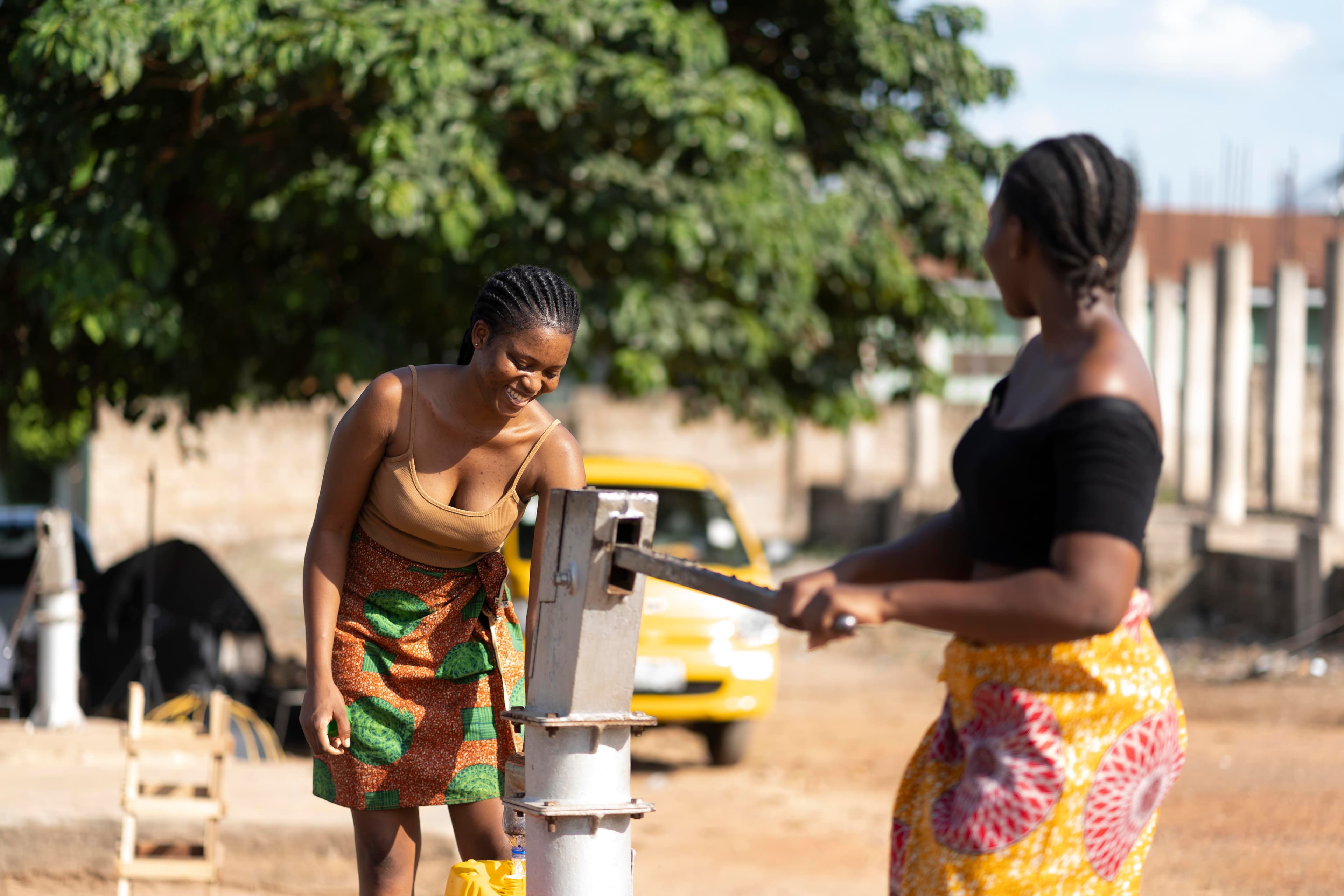
Water & sanitation
Rainfall, drought index, aquifers and rivers.

NGOs & development
Population, settlements and infrastructure.
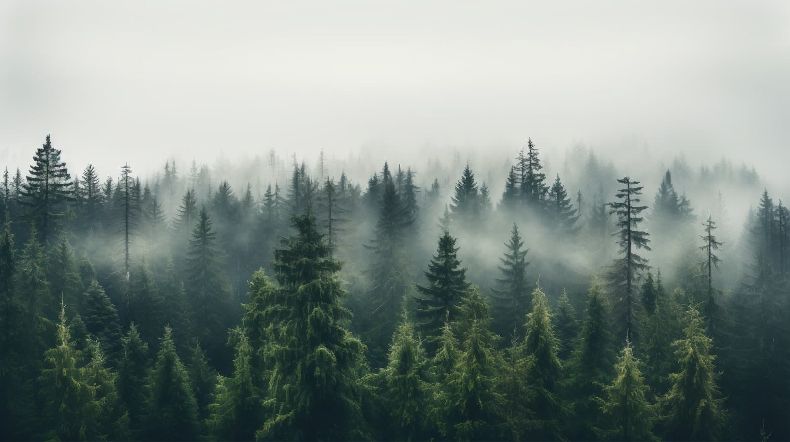
Environment & climate
Land cover, protected areas and change.
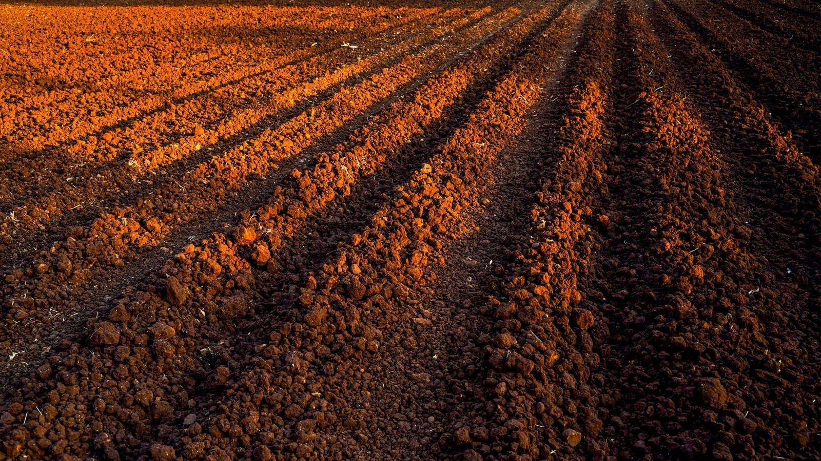
Agriculture & land
Soil classification and land use.
Tell us about your team
No payment is taken on the site for team plans. We reply with a quote within 1 business day, then provision your workspace once you confirm.