
Unmasking Africa with
Data and Intelligence.
Building Africa's largest and most centralized environmental GIS database. We fuse satellite-grade observation with the lived African context to solve real geospatial challenges.

Satellite-grade
observation.
Our GIS datasets are carefully geoprocessed from NASA, ESA, USGS, HydroSHEDS, among others. These are the same data sources powering global environmental research.
Built for the
African context.
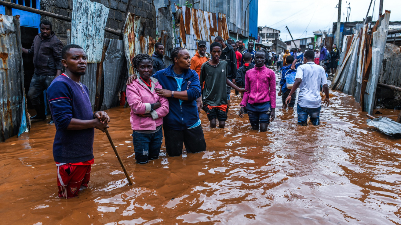
Innovation strives in Chaos. Our datasets are used to fight floods, drainage failure, air pollution, among others, directly confronting chaos with solid Innovation.
Africa's Most Centralized GIS Database
Download professional-grade geospatial datasets covering all 54 African nations. Boundaries, elevation, rivers, land cover, geology, and more - sourced from global institutions.
Administrative Boundaries
Country, provincial, and district boundaries for all 54 African nations
Administrative Boundaries
Drought Index (SPI-12)
Standardized Precipitation Index (SPI-12) for long-term drought monitoring across Africa
Drought Index (SPI-12)
Transboundary Aquifers
Transboundary aquifer polygons — names, country codes, and geometries for aquifers crossing international borders.
Transboundary Aquifers
Protected Areas & Wildlife
National parks, reserves, conservancies, forest reserves, and marine protected areas — clipped per country.
Protected Areas & Wildlife
Rainfall Data
Mean annual rainfall totals derived from CHIRPS v2.0 for all 54 African nations
Rainfall Data
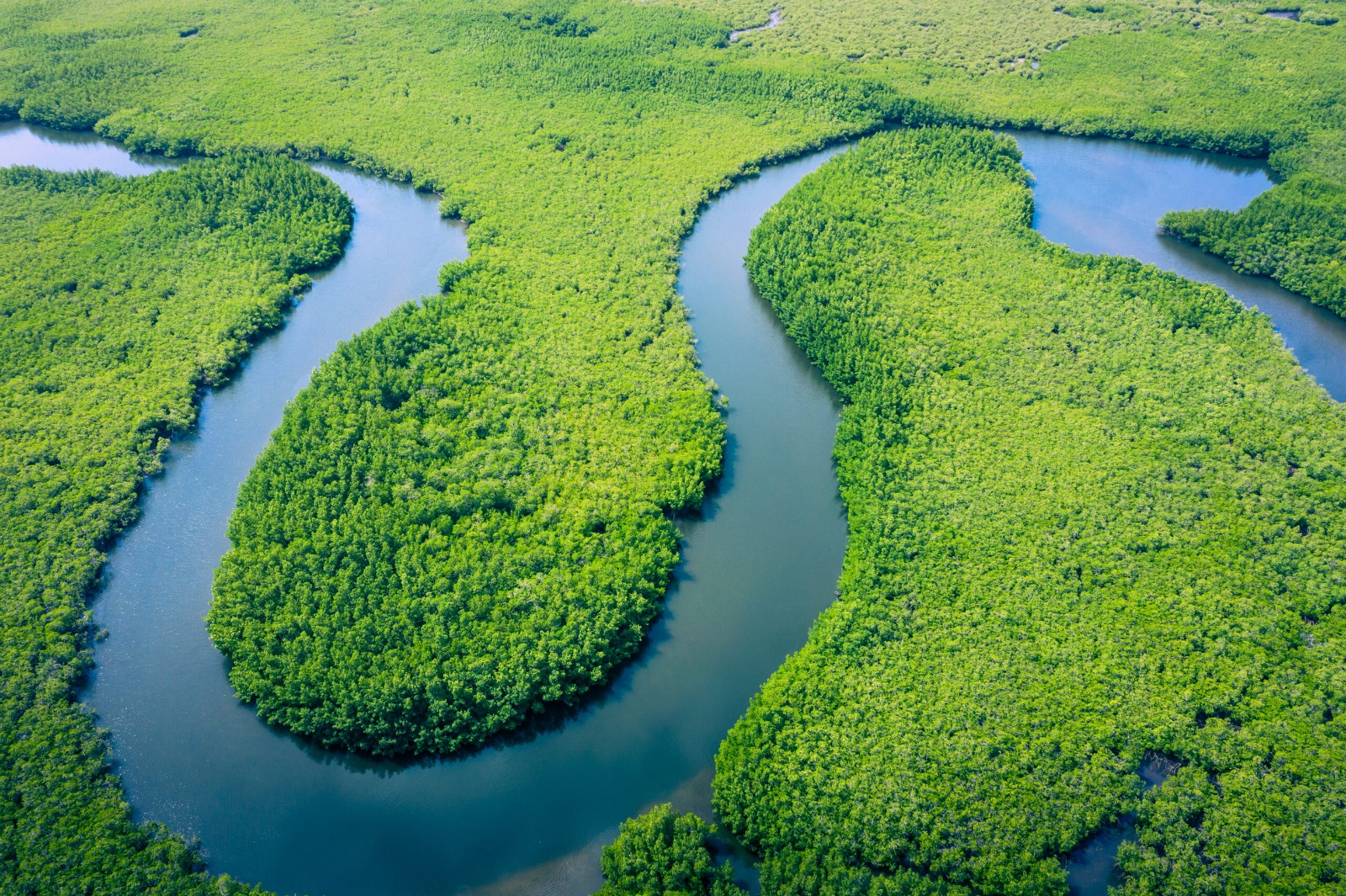
River Networks
Major river systems and tributaries clipped per country across all 54 African nations
River Networks
Population & Settlements
Subnational population counts at ADM1/ADM2 — from each country's latest census or projection, joined to authoritative boundaries.
Population & Settlements
Roads & Infrastructure
Primary, secondary, and tertiary road networks across Africa
Roads & Infrastructure
Watersheds & Catchments
Level 6 watershed polygons (basins averaging 2,000–10,000 km²). Per-country GeoPackage from HydroBASINS v1c.
Watersheds & Catchments
Land Use / Land Cover
Multi-class land cover classification: forest, cropland, urban, water, grassland
Land Use / Land Cover
Wetlands & Floodplains
Wetland extent, flood-prone zones, and seasonal inundation mapping
Wetlands & Floodplains
Soil Classification
Soil type, texture, organic carbon, pH, and nutrient content layers
Soil Classification
HydroRIVERS — River Networks
Full African river network with Strahler order, discharge, and length. Per-country GeoPackage from HydroRIVERS v10.
HydroRIVERS — River Networks
Temperature Data
Monthly mean temperature climatology (1970–2000) from WorldClim v2.1
Temperature Data
Lakes
Per-country lake polygons from HydroLAKES. Includes natural lakes and major reservoirs.
Lakes
Create Your Free Account
Sign up in seconds and browse professional GIS datasets covering all 54 African countries. Free to create an account.
Create Account
We Don't Just Map the World -
We Help Solve It.
From a centralised GIS data bank to custom mapping and environmental studies - Lenga Maps provides the geospatial foundation for projects across Africa and beyond.
GIS Data Bank
Download professional-grade datasets - boundaries, elevation, rivers, land cover, and more.
Custom Mapping
Bespoke map production, remote sensing, and spatial modelling tailored to your needs.
Environmental Studies
Environmental impact assessments, land use analysis, and climate data processing.
Become a Strategic Partner
We collaborate with businesses, organizations, and institutions to deliver data-driven geospatial and environmental solutions.
Email us at lengamaps@gmail.com with the subject line:
To streamline discussions, please include a short concept note or collaboration outline.
Send Partnership Proposal
Send Us a Message
We respond personally to every inquiry within 24 hours.