Unmasking Africa with
Data and Intelligence.
Building Africa's largest and most centralized environmental GIS database, and a shared GIS workspace where your team maps, shares and delivers projects together. We fuse satellite grade observation with the lived African context to solve real geospatial challenges.

Satellite grade
observation.
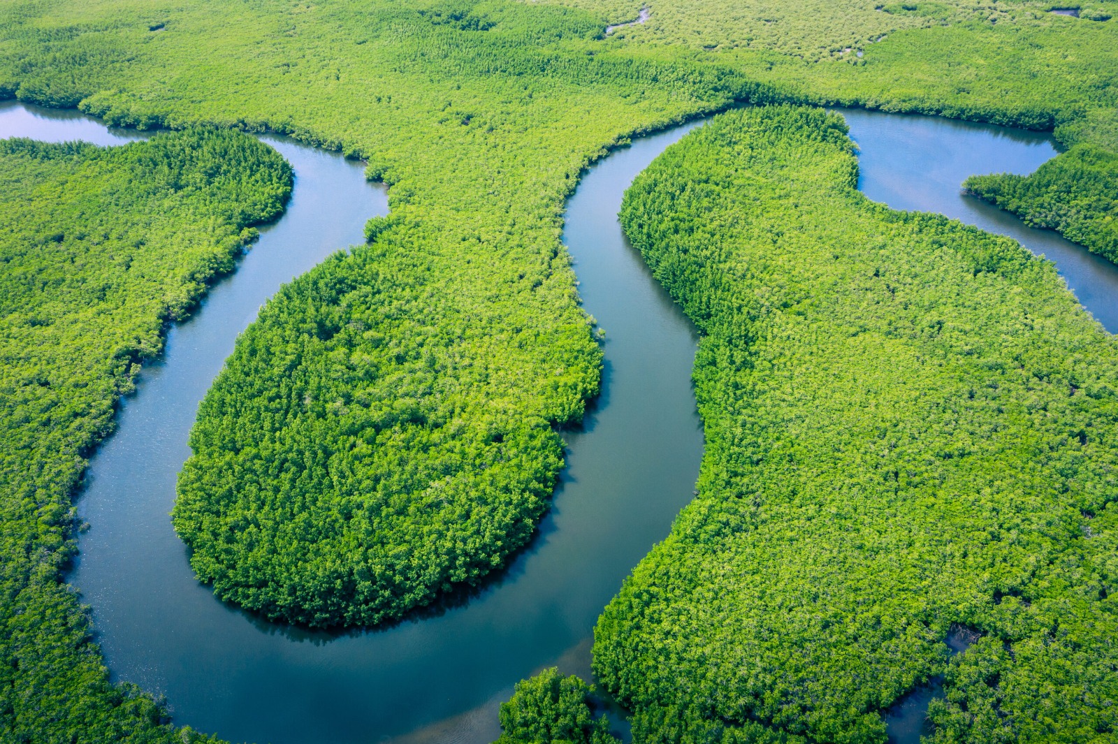
Our GIS datasets are carefully geoprocessed from NASA, ESA, USGS, HydroSHEDS, among others. These are the same data sources powering global environmental research.
Built for the
African context.
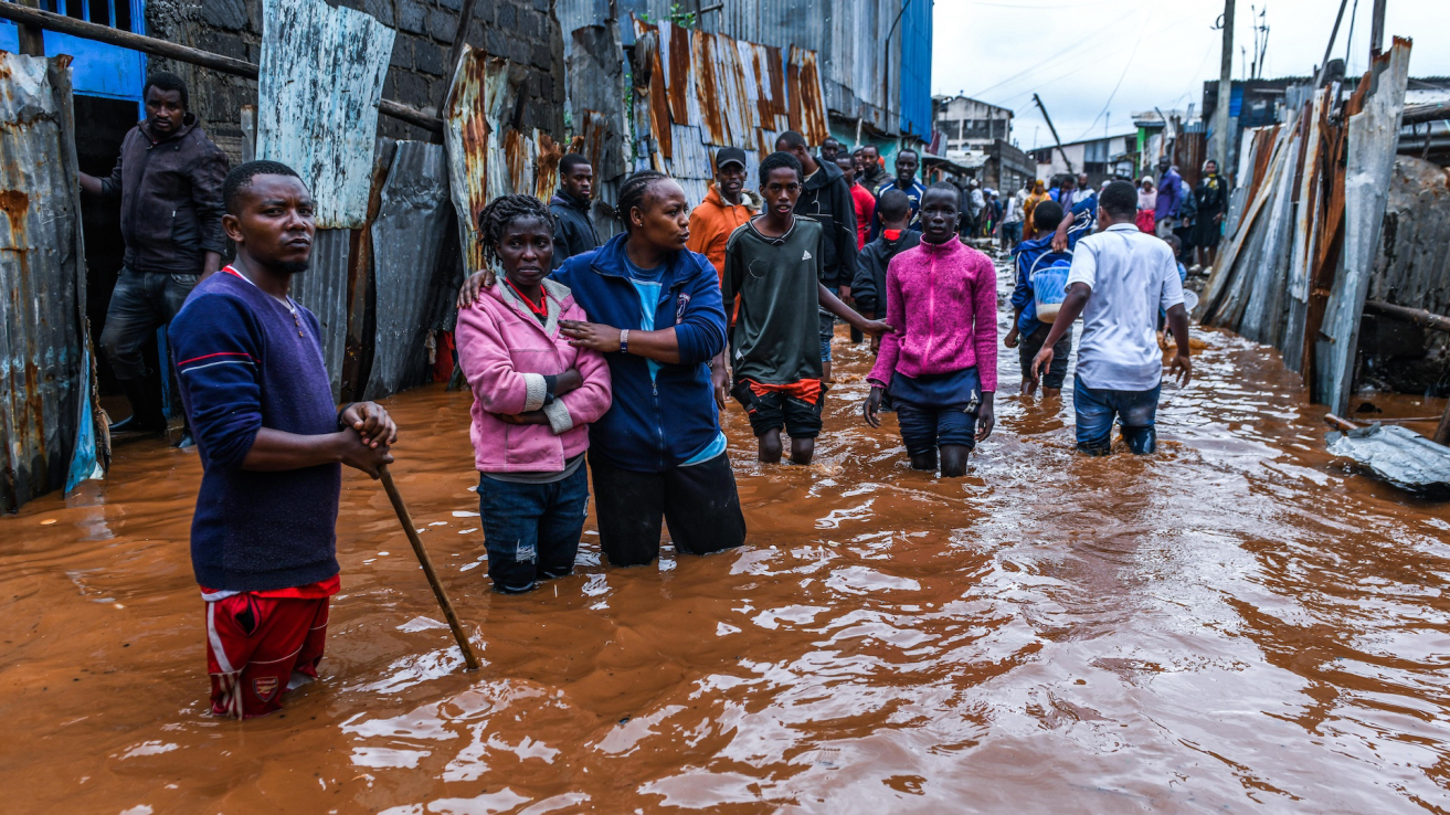
Innovation strives in Chaos. Our datasets are used to fight floods, drainage failure, air pollution, among others, directly confronting chaos with solid Innovation.
African geospatial data and your team, on one GIS map.
Environmental, climate, water, mining and infrastructure data for all 54 African countries, in a workspace built for GIS teams. Share shapefiles, map together, and take clean data back to your desktop GIS.
Start with African GIS data
Our African GIS database covers all 54 African countries: environmental, climate, water, soils, mining and infrastructure layers, cleaned and ready in EPSG:4326.
Bring your own files
Import shapefiles, GeoPackage, KML, GeoTIFF or a whole QGIS project. Your files stay in your team's private folder, marked as yours, and never mix with the Lenga database.
Map it together
Everyone on the team works on the same live GIS map in the browser: style layers, open attribute tables, pin comments to places, and see every change in the history.
Take it back to your desktop
Export the layers you need as shapefile, GeoJSON or GeoTIFF and carry on in QGIS, ArcGIS or Global Mapper. Your report maps start from clean data.
Data from your desktop GIS works here
Shapefile, GeoPackage, GeoJSON, KML/KMZ, GPX, GeoTIFF, and QGIS projects (.qgz / .qgs).
 QGIS
 ArcGIS
- GLOBAL
MAPPERGlobal Mapper  Google Earth
 AutoCAD
 GDAL
Product names and logos belong to their owners and are shown to indicate file compatibility only.
GIS Data Bank
Africa's Most Centralized GIS Database
Download professional grade geospatial datasets covering all 54 African nations. Boundaries, elevation, rivers, land cover, geology, and more, sourced from global institutions.
Administrative Boundaries
Country, province and district boundaries for all 54 countries.
Administrative Boundaries
Drought Index (SPI-12)
Drought index (SPI-12): how far rainfall is from normal.
Drought Index (SPI-12)
Transboundary Aquifers
Aquifers that cross international borders.
Transboundary Aquifers
Protected Areas & Wildlife
National parks, reserves and other protected areas.
Protected Areas & Wildlife
Rainfall Data
Annual rainfall 1981 to 2025, with district normals and trends.
Rainfall Data
River Networks
Major rivers and tributaries, clipped per country.
River Networks
Population & Settlements
Population by province and district from the latest census.
Population & Settlements
Roads & Infrastructure
Every road marked paved or unpaved, with totals per district.
Roads & Infrastructure
Watersheds & Catchments
Watershed basins for catchment and flood analysis.
Watersheds & Catchments
Crop Production
Production, area and yield of 46 crops per district.
Crop Production
Tree Cover Loss
Tree cover in 2000 and yearly loss to 2025, per district.
Tree Cover Loss
Soil Nutrients & pH
Topsoil nutrients, pH and organic carbon per district.
Soil Nutrients & pH
Mines & Geology
Mines, mineral sites and surface geology.
Mines & Geology
Solar & Wind
Solar and wind potential, with a district screening table.
Solar & Wind
Power Plants
Power plants already built, by type and capacity.
Power Plants
Crop Suitability
Where 29 crops grow well, per district and at 1 km.
Crop Suitability
Built-up Area
Built-up land per district from 1975 to 2020.
Built-up Area
Land Use / Land Cover
Land cover at 10 m: forest, cropland, urban, water and more.
Land Use / Land Cover
Soil Classification
Dominant soil type at 250 m.
Soil Classification
HydroRIVERS — River Networks
Full river network with stream order, flow and length.
HydroRIVERS — River Networks
Temperature Data
Monthly and annual mean temperature at about 1 km.
Temperature Data
Lakes
Natural lakes and major reservoirs.
Lakes
Can't find the data you need?
Tell us the dataset, country and area. We will source it, add it to Lenga Maps and get back to you.
Create Your Free Account
Sign up in seconds and choose 3 datasets to keep for free, for all 54 African countries. Upgrade when you need everything.
Create Account
Who We Serve
Built for Everyone Mapping Africa.
From independent analysts to national programs, people across the continent rely on Lenga Maps for the geospatial foundation their work needs.
GIS Users
Analysts, researchers, and students who need reliable, ready to use datasets without the endless hunt.
Teams and Businesses
Consultancies and companies that need shared access, custom data, and dependable delivery.
NGOs and Governments
Ministries, agencies, and nonprofits turning geodata into decisions and real impact.
Project Developers
Engineering, mining, energy, and infrastructure teams that scope and plan projects on the ground.
Send Us a Message
We respond personally to every inquiry within 24 hours.